WebBuilt for fellow students
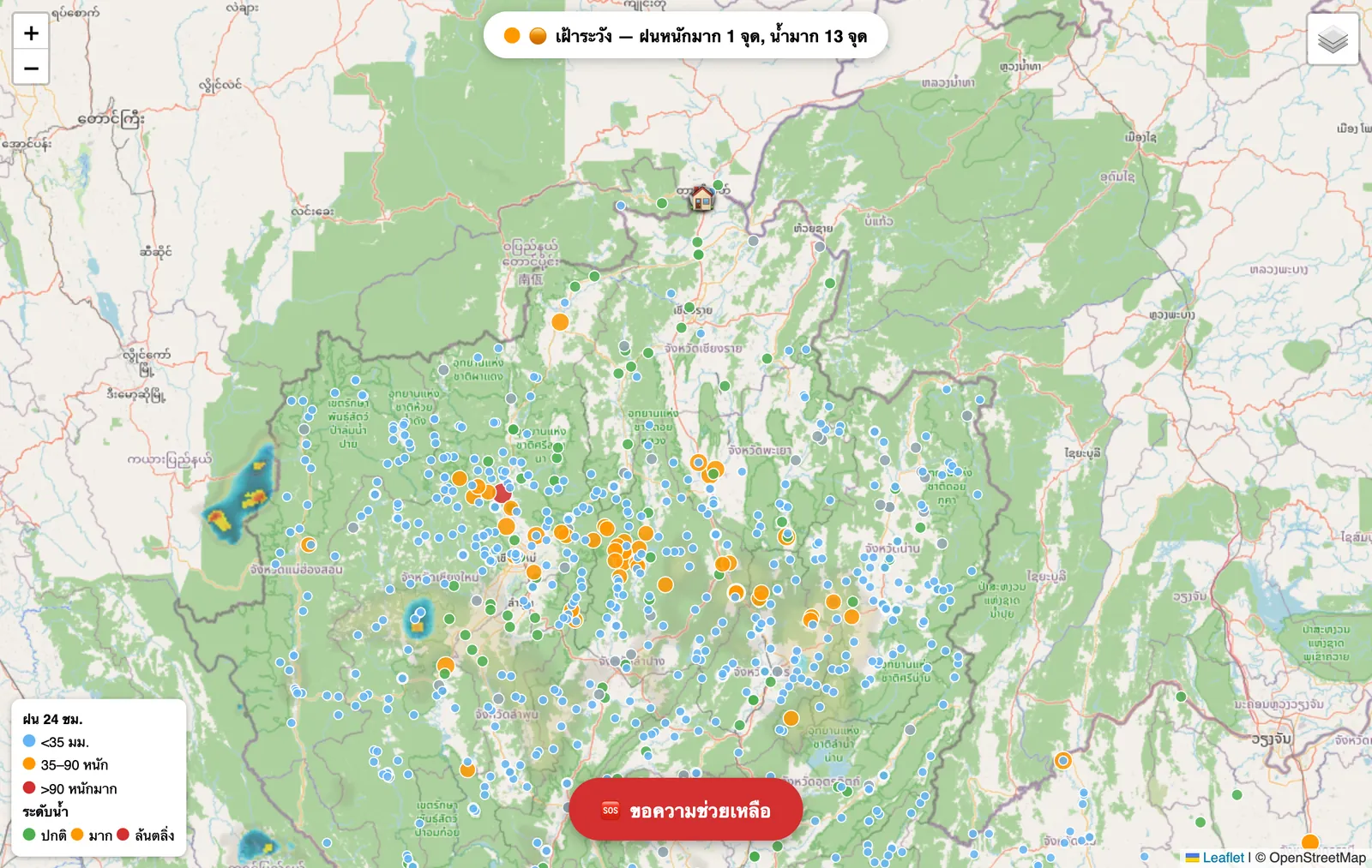
FloodWatch Campus Flood Map
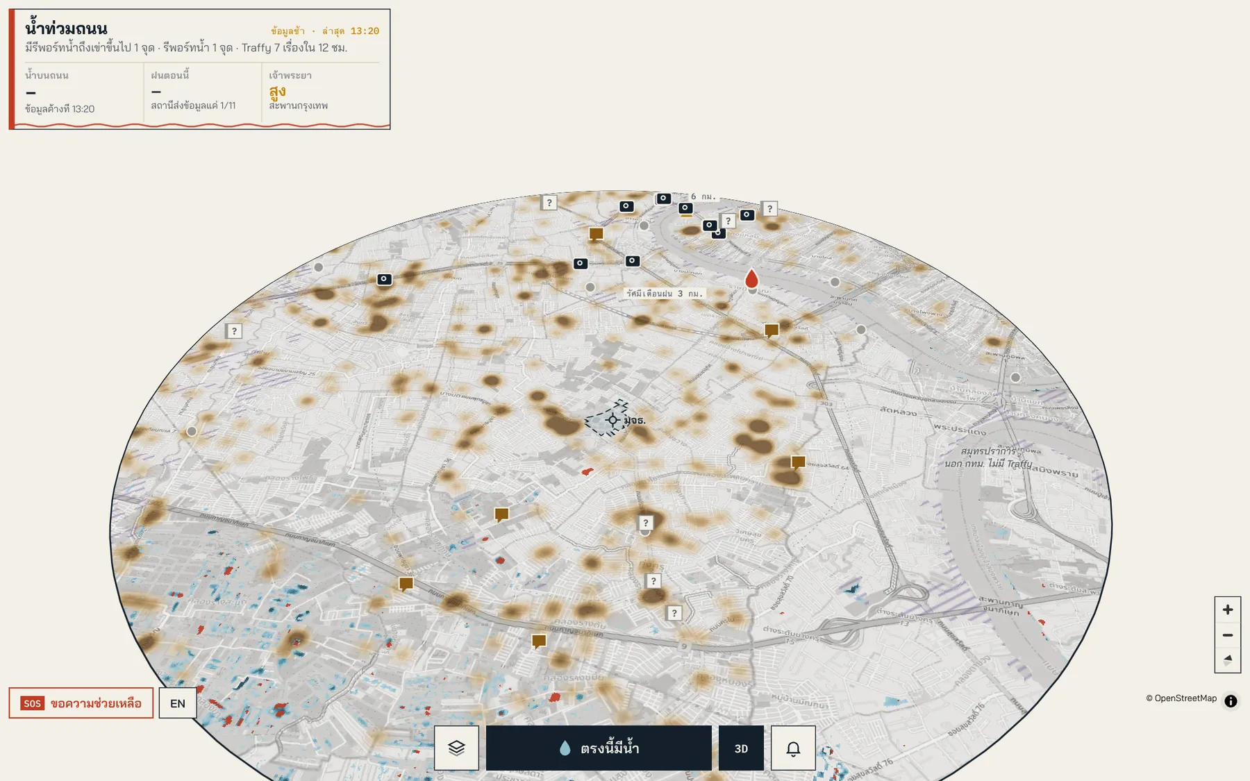
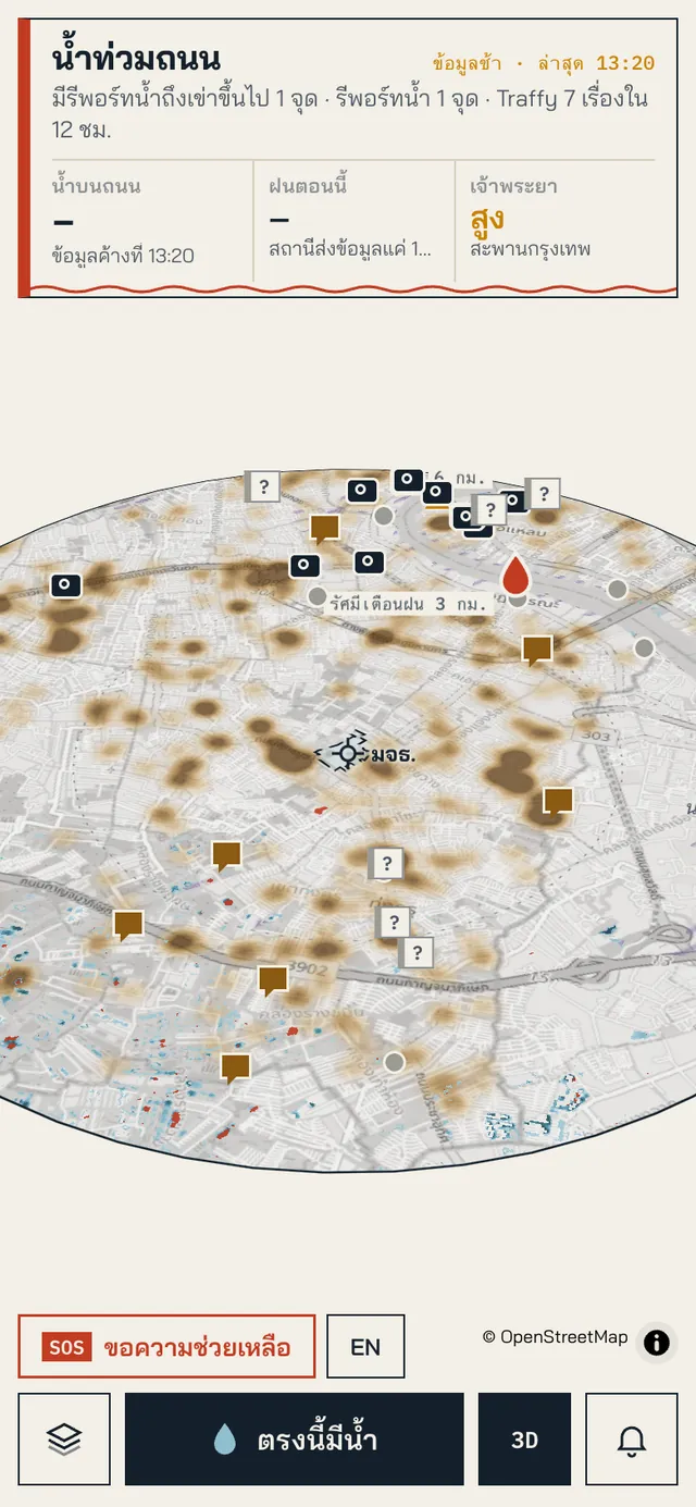
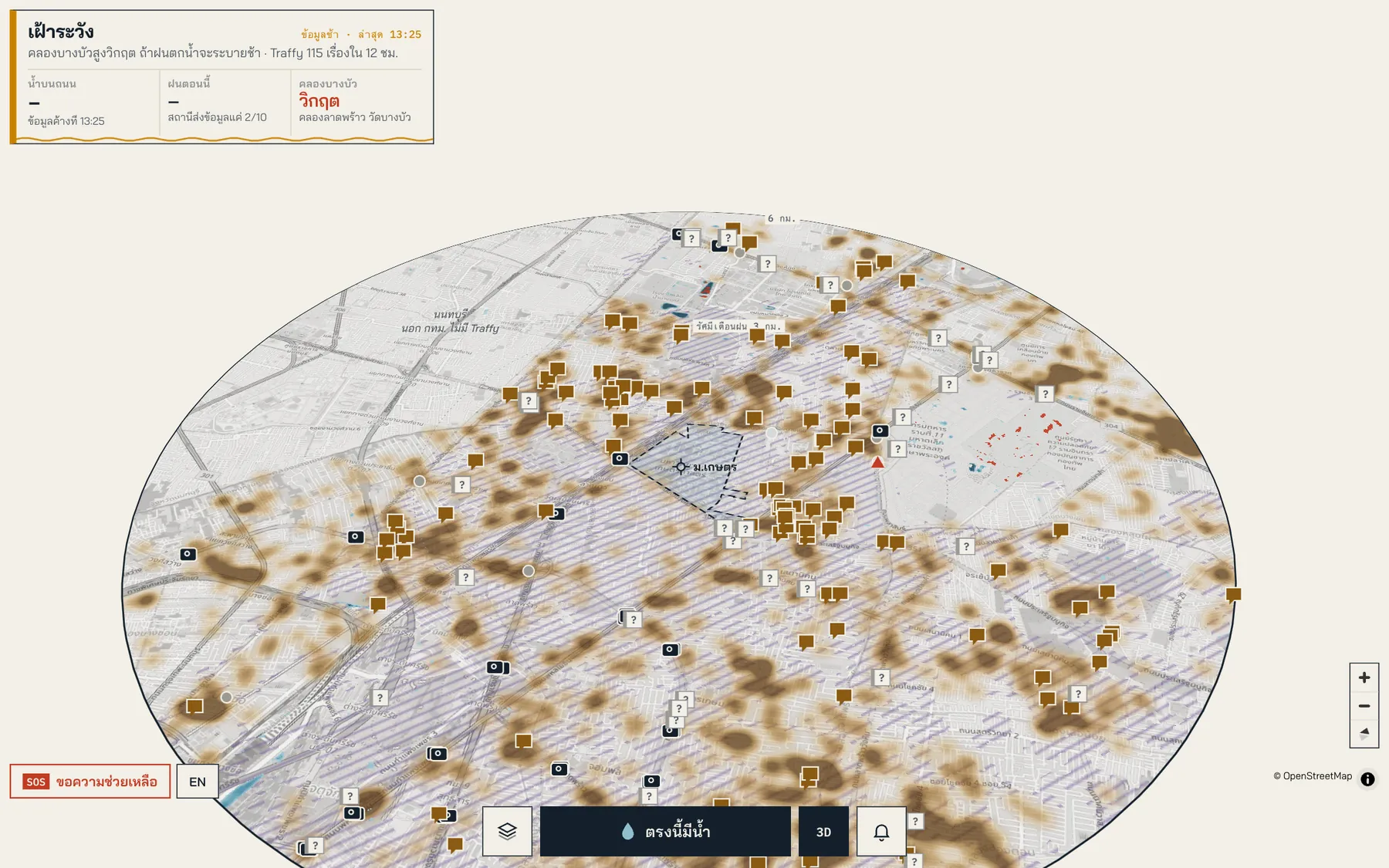
Which roads are flooded right now. BMA sensors, Traffy reports, rain, river level and satellite images on one map.
- Year
- 2026
- Role
- Data pipelines, map and hosting
- Status
- Live
The problem
Every storm, dorm students had no idea which roads were still walkable. The data existed, just scattered across many sites.
What we built
- 01
Pulls road water levels from BMA sensors, Traffy Fondue reports and rain gauges
- 02
Uses Sentinel-1 radar images to see where water tends to sit
- 03
Locals can report, hit SOS and get Web Push alerts
- 04
One codebase serves many campuses, KMUTT and Kasetsart so far
Numbers
2Campuses live
390Satellite images analysed
Screenshots
Stack
PythonSQLiteMapLibreSentinel-1Web Push
Next projectKMatch Campus Matching